
The UN Adopts Non-binding Resolution for a New World Map
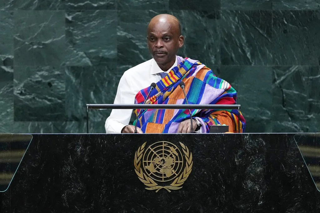
Togo's Foreign Minister Robert Komlan Edo Dussey addresses the 81st session of the United Nations General Assembly at U.N. headquarters Friday, Sept. 25, 2026. (AP Photo/Frank Franklin II)
The United States is not alone in 21st-century map alterations, as UNESCO, Lomé and Google plan to meet early next year to implement a newly adopted world-changing resolution.
On Sept. 4, 2026, the UN General Assembly passed Resolution A/80/L.104, a Togo-sponsored resolution calling for the replacement of the traditional map we use today with an Equal Earth design.
The resolution stems from the #CorrectTheMap campaign, a grassroots campaign launched by Africa No Filter and Speak Up Africa. The campaign then caught the attention of the African Union who pushed it up the ladder. The movement purports to do exactly what its name states, and correct the way we see our world. But what exactly is wrong with our everyday map?
The most used and recognizable map today is the Mercator map. Its namesake, Gerardus Mercator, was a Flemish navigator who, in a 16th-century maritime breakthrough, invented the navigational tool. In its era, the centrographic projection facilitated maritime navigation during a burgeoning period of European exploration. Notably, the projection provided more accurate distances and shapes of landmasses at the expense of distorting the sizes of landmasses near the equator and poles. Hence, Greenland appears nearly the size of a continent and towers over Africa, which is actually 14 times bigger.
Surprisingly, this resolution is not the first time Mercator’s map has been challenged. Since 1973, the Gall-Peters projection has been employed as a commonly used alternative alongside various other equal-area projections that attempt to render a three-dimensional globe onto a two-dimensional plane. The new Equal Earth Map that accompanies the resolution was launched in 2018 by a joint effort of cartographers from Australia and the U.S. It restores Africa to its true features and balances size disparities in Russia, China, and South America too.
Alongside cartographical consistency, the approved resolution joins the growing global reparations debate. The only country to oppose the resolution was the U.S., with its representative, Yaryna Ferencevych, disparaging the resolution as “superfluous”. She also impugned the efficacy of analyzing “16th century cartographic projections and their role in promoting reparations and cognitive justice.”
The representative’s comment collides with a primary tenet of the multifaceted project for promoting African and Afro-diasporic prosperity, dignity and autonomy through fiscal and systemic transformation. The redrawing seeks justice for the past by acknowledging and addressing what activists, historians and geographers have called “cartographic colonialism.”
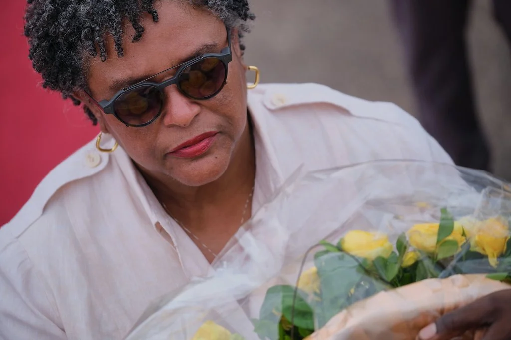
Barbados Prime Minister Mia Amor Mottley lays a wreath in a ceremony to honor victims of the transatlantic slave trade at Christiansborg Castle during a Juneteenth commemoration ceremony in Accra, Ghana, Friday, June 19, 2026. (AP Photo/Reuben Ekow Quansah)
This theory claims that Mercator’s projection is yet another reflection of the distortion of knowledge and perspectives through frameworks inherited from Europe. The resolution reconstructs and decolonizes the education of African children who will no longer learn about their continent from a map that distorts its true size and misshapes the way they think about its global importance.
Countries such as France, Togo, and South Africa have marooned Mercator and his map in efforts to decolonize knowledge and advance more accurate education. It’s important to note that although other UN members will not be required to follow, the use of the Equal Earth map will be promoted in global educational, technological, and governance policies. Correcting our map will not be the first, or the last, means of changing global perspective, but it is surely a start at correcting the way we see our world and transforming our perception.